Write the scope before the ladder comes off the truck.
- Squares, pitch and line totals for the estimate
- Steep-slope split and waste table built in
- Top-view photo to confirm the right house
- Xactimate (ESX) export, coming next
Roof measurement reports
Type an address. CloneHawk reads laser scans of the actual roof and hands you squares, pitch, every ridge and valley, and a waste table, ready for the estimate.
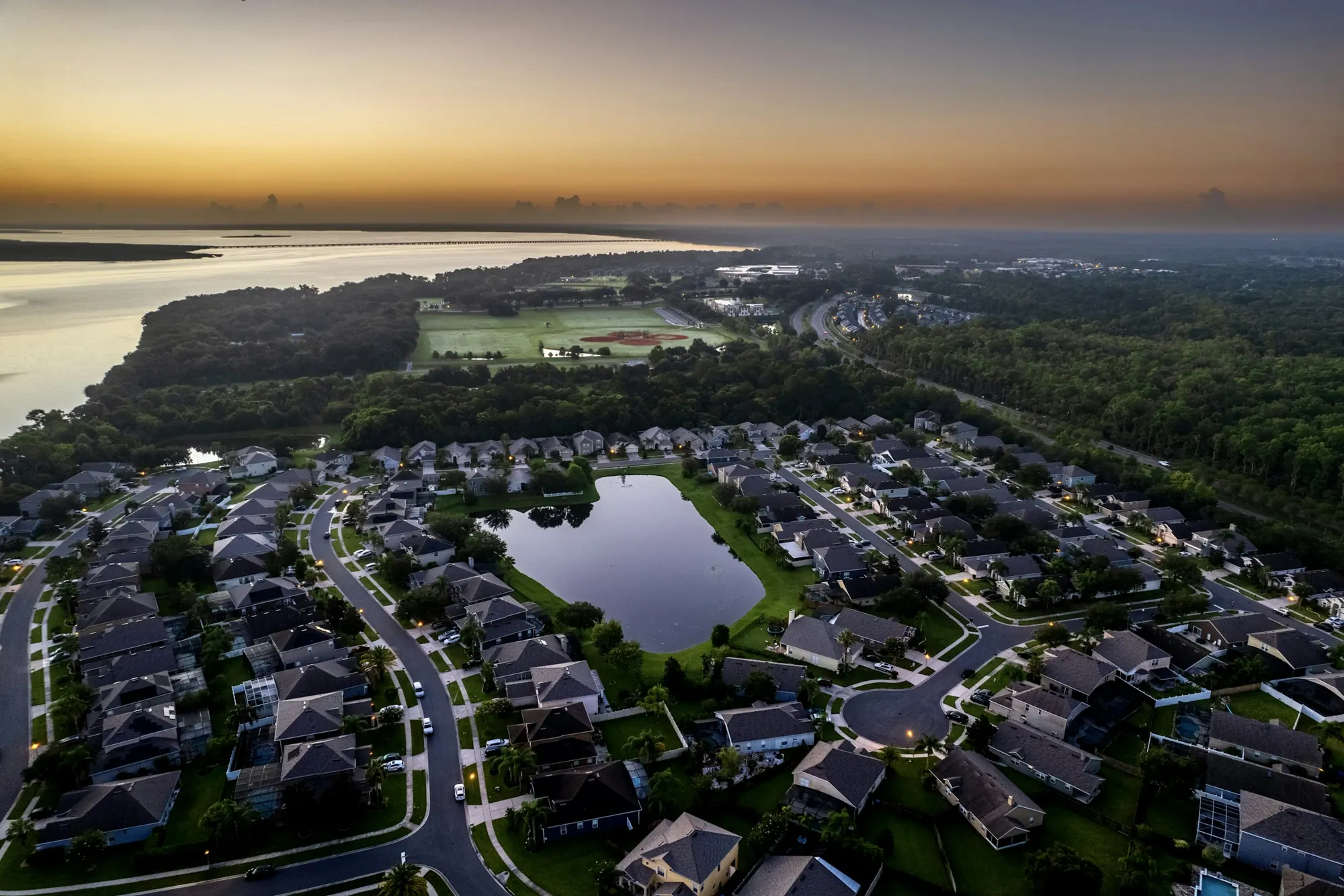
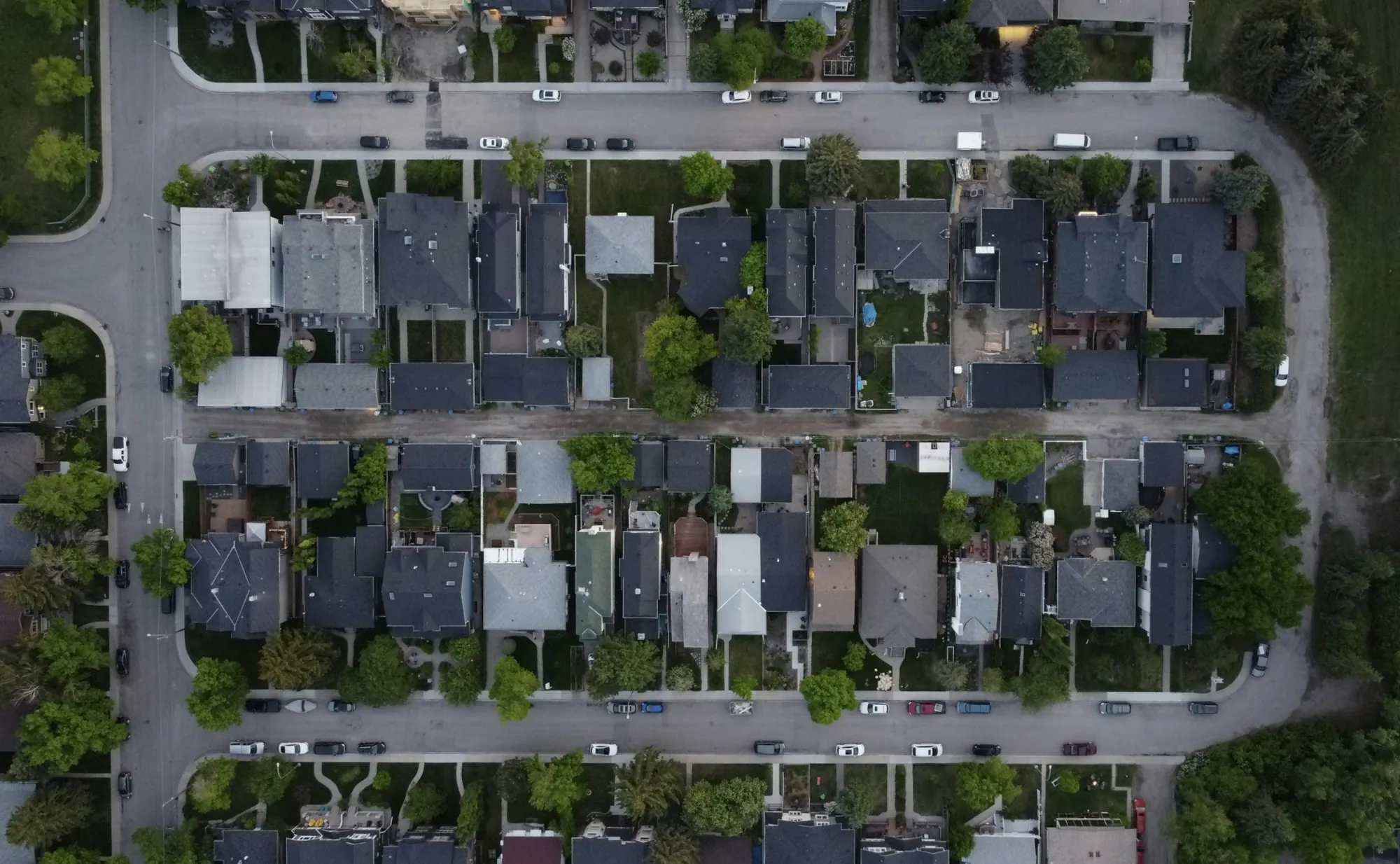
We locate the address and pull the newest public laser scan of the block. Every dot is a real laser return off a roof, a tree or the ground.
We separate the house from the trees and the yard, then read every laser hit on the roof itself. On this house that's 8 hits per square meter.
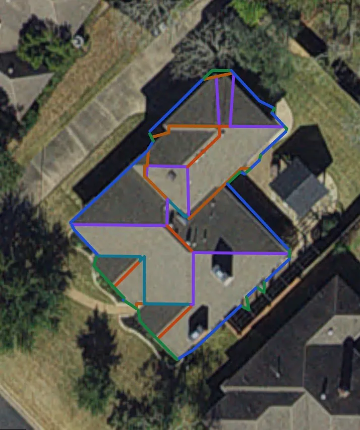
Each roof section gets its own plane and pitch. Where planes meet, we draw the ridges, hips and valleys and measure every edge along the slope.
What you get
Every number is measured along the slope, from the laser points on that roof. A top-view photo with our lines on it lets you confirm the house in a glance.
Why it matters
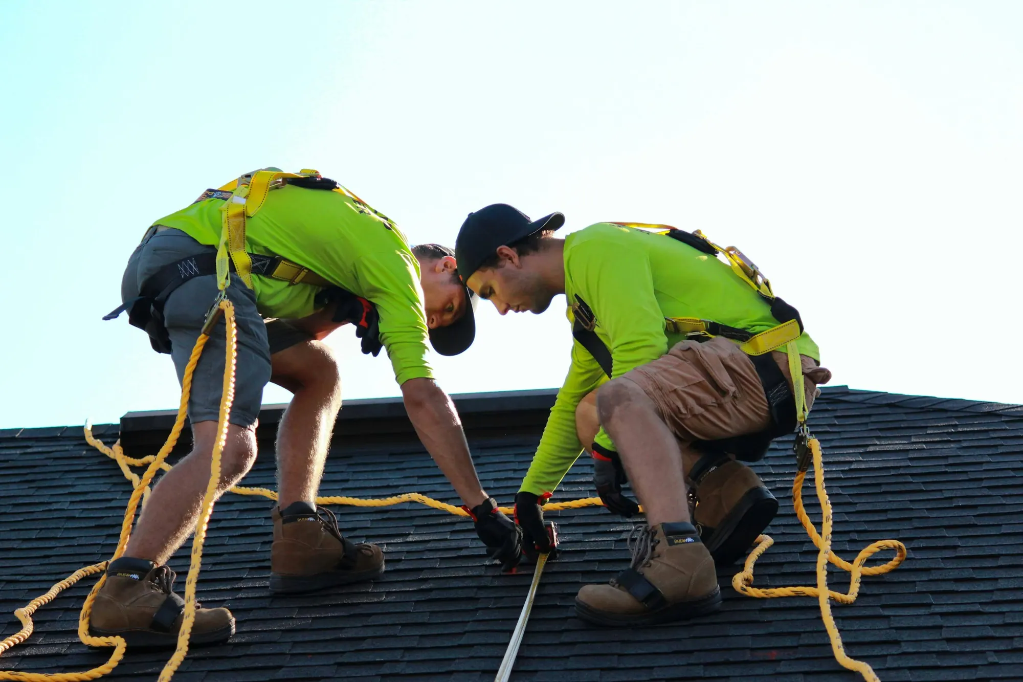
Tape and ladders still work. But when the numbers are on your phone before you pull up, the visit goes to what only a person can do: checking damage and talking with the homeowner.
Who it's for
No black box
Most reports hand you numbers and ask you to trust them. Every CloneHawk report says where each number came from and how sure we are.
Coverage
State and federal agencies have flown lidar over most of the United States. We use the newest survey that covers the address.
Pricing
The full report, while we build out the rest.
What we're building now, in order.
Early-access users get these first.
Questions
Planes fly laser scanners (lidar) over whole regions and record millions of points, each one a precise 3D spot on a roof, a tree or the ground. We pick out the points on your roof, fit a flat plane to each section, and measure where the planes meet.
Measuring starts as soon as you send the address and usually takes a few minutes. You get a link right away that shows each step as it happens, and the report opens there when it's done. If something on a roof needs a second look, a person checks it first and we send it within 24 hours.
Total area and pitch are the strongest numbers. On complex roofs, which line is a hip and which is a valley is where we're still improving, and the report flags any line that changed between our five runs. Like any measurement, check it before you order materials or settle a claim.
Anywhere public lidar covers, which is most of the United States. Texas addresses use the state's StratMap scans, Washington uses the state lidar portal, and everywhere else uses the national USGS program. Scans that never labelled which points are buildings still work: we find the building from the heights themselves. If there's no usable scan for an address, we'll tell you instead of guessing.
Every report lists the scan date and shows our lines on an aerial photo, so a new addition or a reshaped roof stands out. If you see a mismatch, don't use the numbers for that part of the roof.
No. Type the address and you get a private link to the report. Save the link to come back to it.
We use it to find the roof and build your report. That's it. To land on the right house, we look the number up in the official 911 address points rather than guessing a spot along the street.
Start here
Put in the address and we'll measure it.